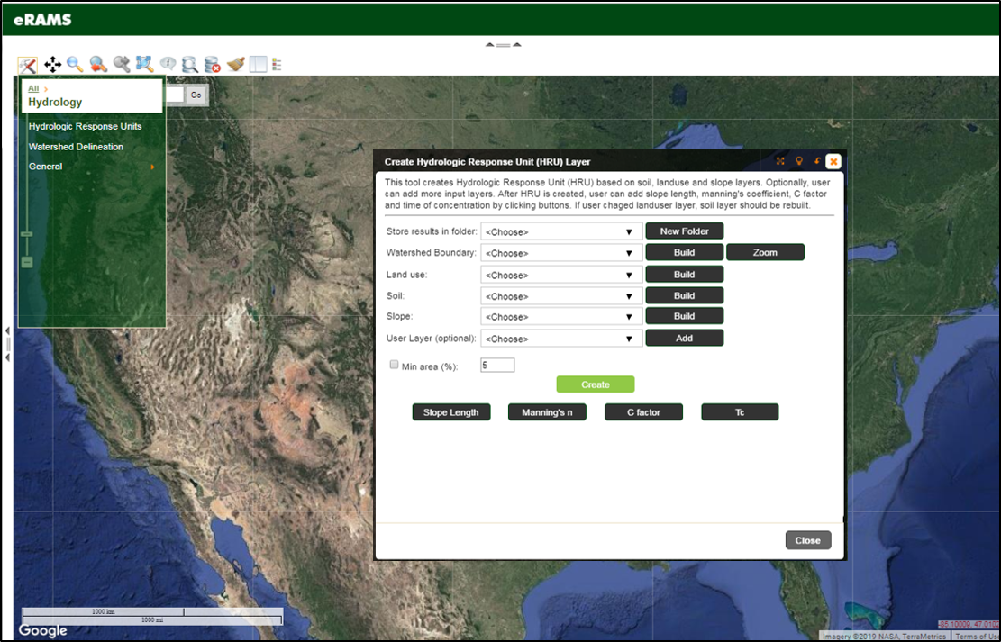
Hydrologic Response Unit

Hydrologic Response Unit (HRU) Delineation Tool creates HRUs based on soil, land use and slope layers to calculate slope length, manning’s overland flow coefficient, C factor and time of concentration. The HRU layers include information on land use, hydrologic soil group, soil texture, average slope, curve number, area, and perimeter.
HRUs are calculated as adjacent and unique combinations of pixels from input layers. Users can also merge smaller HRUs less than given threshold to the adjacent and larger HRUs.
We Provide Cutting Edge Software Solutions
We offer cloud-based solutions for online data management, modeling services and geographic analysis for sustainable management of land, water, and energy resources.
If your project or business would benefit from sophisticated data management, analysis, and computation resources, our eRAMS platform is the perfect solution.
