River Hydraulics & Sediment Transport

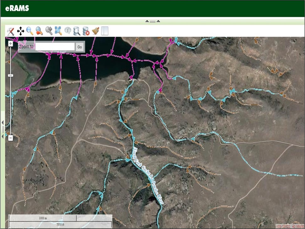
The River Hydraulics & Sediment Transport (RHST) analysis tool extracts and analyzes a stream cross-section’s hydraulic properties and sediment transport conditions. Using a 10-meter DEM, RHST extracts a valley-scale cross-section which can be downloaded and used in further analyses and/or enhanced with user-supplied channel-scale survey data.
The extracted cross-section’s hydraulic properties can be summarized for a single flow event or combined with data from a stream monitoring site. When combined with a stream discharge record RHST creates rating curves for depth, area, hydraulic radius, and sediment transport.
We Provide Cutting Edge Software Solutions
We offer cloud-based solutions for online data management, modeling services and geographic analysis for sustainable management of land, water, and energy resources.
If your project or business would benefit from sophisticated data management, analysis, and computation resources, our eRAMS platform is the perfect solution.
