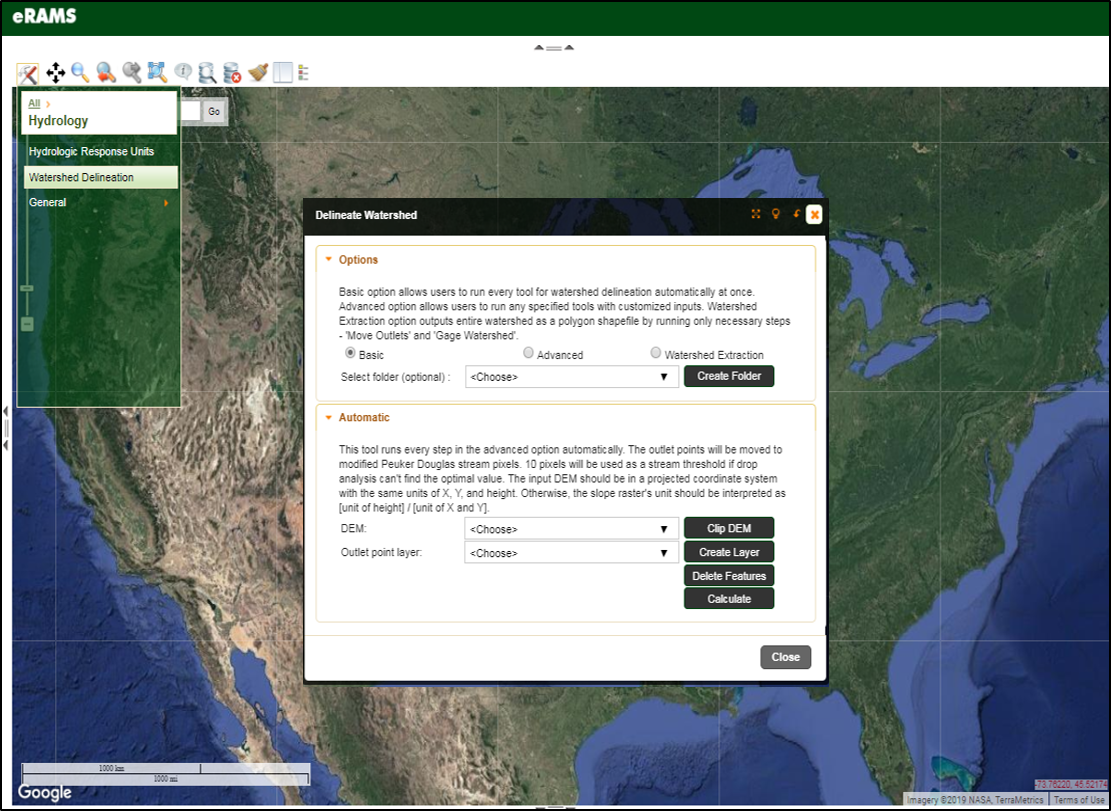
Watershed Delineation

The Watershed Delineation Tool processes and analyzes Digital Elevation Model (DEM) and DEM-driven rasters to delineate a watershed. The tool provides not only watershed boundary but also useful hydrologic information for a defined boundary to users.
There are three delineation options to accomodate a variety of user needs. The basic option allows users to simultaneoulsy run individual procedures and automatically execute every step using default inputs. The advanced option allows users customize their inputs. The simplified option can be used to rapidly create a watershed boundary.
We Provide Cutting Edge Software Solutions
We offer cloud-based solutions for online data management, modeling services and geographic analysis for sustainable management of land, water, and energy resources.
If your project or business would benefit from sophisticated data management, analysis, and computation resources, our eRAMS platform is the perfect solution.
